
Monterey County ZIP Coverage
Monterey County's working ZIP list is a delivery-geography index, not a certified master of every valid code. It spans the Peninsula, Salinas Valley, rural south county, Big Sur, and cross-county edges. Verify USPS and county GIS before treating a parcel, permit, voting, or historical record as local.
| ZIP | Areas Covered | Post Office | Notes |
|---|---|---|---|
| 93426 | Bradley and southern county | Bradley route | County edge and rural delivery |
| 93450 | San Ardo | San Ardo | Rural south county |
| 93901 | Central and south Salinas | Salinas | City and unincorporated edges need GIS |
| 93905 | East Salinas | Salinas | Postal label is not parcel jurisdiction |
| 93906 | North Salinas | Salinas | Includes growth areas |
| 93907 | Northwest Salinas and Prunedale vicinity | Salinas route | Large unincorporated component |
| 93908 | Corral de Tierra and Salinas outskirts | Salinas route | Many unincorporated addresses |
| 93920 | Big Sur coast | Big Sur | Long rural coastal route |
| 93921 | Carmel-by-the-Sea | Carmel | Compact city and postal delivery distinction |
| 93922 | Carmel Valley | Likely special route | Verify delivery point and PO-box status |
| 93923 | Carmel and Carmel Highlands | Carmel | Extends beyond incorporated Carmel-by-the-Sea |
| 93924 | Carmel Valley | Carmel Valley | Unincorporated setting |
| 93925 | Chualar | Chualar | Rural valley route |
| 93926 | Gonzales | Gonzales | City and outskirts |
| 93927 | Greenfield | Greenfield | City and outskirts |
| 93928 | Jolon | Jolon | Sparse and rural |
| 93930 | King City | King City | Southern Salinas Valley |
| 93932 | Lockwood and interior south county | Lockwood and Jolon routes | Large rural delivery geography |
| 93933 | Marina | Marina | Municipal and nearby routes |
| 93940 | Monterey | Monterey, 565 Hartnell Street | City, military, and county distinctions |
| 93943 | Presidio of Monterey | Unique military | Institution-linked code |
| 93944 | Presidio | PO-box and military | Verify delivery type |
| 93950 | Pacific Grove | Pacific Grove | City delivery |
| 93953 | Pebble Beach | Pebble Beach | Unincorporated and private-road context |
| 93954 | San Lucas | San Lucas | Rural south county |
| 93955 | Seaside and Del Rey Oaks | Seaside | Spans municipal labels |
| 93960 | Soledad | Soledad | City and outskirts |
| 93962 | Spreckels | Spreckels | Unincorporated historic company town |
| 95004 | Aromas | Aromas | Crosses or abuts San Benito geography |
| 95012 | Castroville | Castroville | Unincorporated coastal area |
| 95039 | Moss Landing | Moss Landing | Unincorporated coastal area |
| 95076 | Pajaro and Watsonville delivery area | Watsonville and Pajaro | Santa Cruz and Monterey context |
This is a research working list, not individual USPS verification of every station, PO-box-only code, or boundary. Codes 93902, 93912, 93915, and 93942 are not presented as residential areas because the research does not support that use.
The USPS ZIP Code Lookup is the field source for checking a city, state, or delivery address, especially when a route, PO box, or institution is involved.
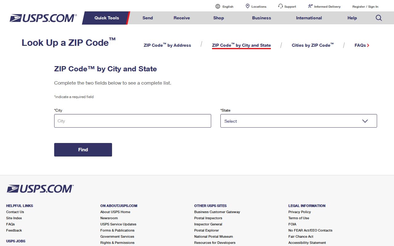
The USPS lookup asks which ZIP the delivery point receives, not which city name seems closest.
Verify Monterey County ZIPs
The research verifies Monterey Post Office at 565 Hartnell Street, Monterey, California 93940-9998, (831) 372-4063. That supports the 93940 post-office reference, but not the claim that every Monterey postal address lies inside the incorporated city. Military property and county land still need a jurisdiction check.
USPS can distinguish street delivery, PO-box results, and ZIP+4 detail. The USPS location finder can help identify the relevant post-office channel. Apply the check to 93922, 93944, and rural routes in Big Sur, Lockwood, Jolon, and Pajaro. A postal directory should mark uncertainty.
Monterey County Accela Search
Unincorporated Monterey County permits can be narrowed in the county Accela Building search. Its Community dropdown includes county communities and ZIP labels, including Monterey 93940. That is a service label, not proof of an incorporated city. Results show permit details, address or parcel, dates, and public participants. They are not a resident roll.
Use general search, then add a date or permit type. Incorporated cities keep separate systems, including MyMonterey for the City of Monterey. Read the result as permit evidence, not a countywide ZIP record.
| Field Label | Type | Required | Options / Format Notes |
|---|---|---|---|
| Search All Records / Quick Search | Mode or tab | No | General search mode |
| Permit Number | Text | No | All or part of the number |
| Parcel No. | Text | No | APN |
| Community | Dropdown | No | County communities and ZIP labels, including Monterey 93940; service community is not necessarily an incorporated city |
| Start Created Date | Date | No | MM/DD/YYYY; normally the Building application date |
| End Created Date | Date | No | MM/DD/YYYY; use a narrow range when possible |
| Permit Type | Dropdown | No | Selecting a type changes additional criteria |
| Expand Search / Additional Criteria | Expandable fields | No | Context-sensitive fields |
Keep the permit address, parcel number, community label, and agency together so a county result is not mistaken for a city result.
Monterey County Property Limits
The Monterey County Property Inquiry is the official assessment entry point, not a name-and-address directory. Fee Parcel Number and Assessment Number searches are allowed; owner-name and address searches are unavailable. A ZIP search cannot produce an owner list by typing 93940.
Start with the Monterey County Parcel Report App. Its Locator uses Find address or place and returns at most six suggestions. Parcels uses Find Parcel with APN and APN_FORMAT partial matching, also capped at six. The map supplies APN, community, jurisdiction, subdivision, legal description, and land-use fields, but no owner or mailing address. The assessor is the official roll; County Recorder services prove transfers.
Use the sequence address, APN, jurisdiction, assessment evidence, then the record custodian. A postal label is not proof of ownership, occupancy, or city authority.
Monterey County Valley ZIPs
Salinas is the county seat and postal hub for much of the valley. ZIPs 93901, 93905, and 93906 divide central and south, east, and north Salinas settings. ZIP 93907 reaches northwest Salinas and Prunedale, while 93908 reaches Corral de Tierra and Salinas outskirts. These labels cover municipal and unincorporated ground, so a Salinas postal city does not settle which office applies.
South-county routes include Chualar, Gonzales, Greenfield, King City, San Lucas, Soledad, and Spreckels in 93925, 93926, 93927, 93930, 93954, 93960, and 93962. Bradley, San Ardo, Lockwood, and Jolon add rural scale. Preserve the ZIP and research year; GIS decides county versus city jurisdiction.
Aromas 95004 abuts or crosses San Benito geography. ZIP 95076 joins Pajaro and Watsonville across Santa Cruz and Monterey, while Castroville and Moss Landing are unincorporated coastal communities. A ZIP index must retain those edges.
Peninsula ZIPs in Monterey County
The Peninsula places compact city codes beside coastal and private-road areas. Carmel-by-the-Sea is 93921; 93923 reaches Carmel and Carmel Highlands, and 93924 serves unincorporated Carmel Valley. Pacific Grove is 93950, Marina is 93933, and 93955 covers Seaside and Del Rey Oaks. These are not interchangeable records.
Monterey 93940 needs care. The verified post-office detail does not erase city, military, and county distinctions. Presidio 93943 is a unique military code; 93944 is marked PO-box and military. Treat both as institution-linked delivery geography, not a normal residential roll.
Pebble Beach 93953 has unincorporated and private-road context. Big Sur 93920 adds a long rural coastal route. Verify the delivery point, then use GIS to choose a city, county, or institutional channel.
Monterey County ZIP Boundaries
A postal city is a delivery label. An incorporated city is a legal municipal boundary. County jurisdiction covers unincorporated land and often determines the permit or planning office. County road inventory describes an Infantry Street segment as Monterey City 93940 while military-maintained; Jacks Road is labeled Salinas 93908 although the research identifies an unincorporated and private setting.
The same mismatch appears in 93923, 93955, 95004, and 95076. Confirm the legal location in the Monterey County GIS mapping and data resources before choosing Accela, a municipal portal, or a clerk office.
Monterey County Address Glossary
Address identity has several parts. Keeping them distinct makes the directory useful without claiming facts about a person.
- Postal city
- The city name USPS uses for delivery, which may not be the incorporated city where the parcel sits.
- Incorporated city
- A municipal boundary with its own clerk, permit, engineering, and local-record responsibilities.
- County jurisdiction
- Unincorporated land administered through county departments, often including county planning and Accela.
- Situs address
- The mapped physical location of property. It can differ from the mailing address used for tax correspondence.
- APN
- The assessor's parcel number, a land identifier that helps connect a mapped parcel to assessment evidence.
- Legal description
- The formal land description, such as a subdivision, lot, block, or metes-and-bounds description, used when street numbers change.
Monterey County ZCTAs and ZIPs
Census ZCTAs approximate ZIP delivery areas from Census blocks. They support broad geography or population comparisons, not USPS address assignments. Not every valid ZIP has a ZCTA, and PO-box or unique institutional codes may lack a normal residential footprint.
The National Archives Census research resource shows why Census geography and a postal lookup answer different questions. A ZCTA supports statistical analysis; USPS decides the delivery code for an address.
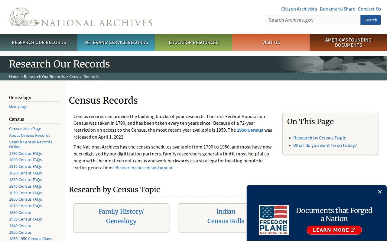
Use Census geography for statistics, USPS for delivery, and county GIS for the parcel and jurisdiction. Do not merge those layers.
- ZIP versus ZIP+4
- A ZIP identifies the broader delivery area; ZIP+4 adds a more precise route segment or delivery grouping.
- PO-box ZIP
- A code used mainly for post-office boxes, so it may not describe a street-residential footprint.
- Unique ZIP
- A code tied to one major institution or special delivery setting, such as the Presidio's military geography.
- Carrier route
- A delivery path within a postal area, often important in rural communities where a city label covers a wide span.
Monterey County ZIP Workflow
A reliable ZIP search moves from delivery verification to parcel identity, then to the official channel that holds the record. The order matters when postal, county, and municipal labels diverge.
- Verify with USPS. Enter the address or city and state. Record the ZIP, ZIP+4, delivery type, and any PO-box or special-route signal.
- Resolve the parcel in GIS. Use Find address or place in the Parcel Report App, then retain the APN, legal description, community, and jurisdiction. Refine the search if six results hide the match.
- Use Accela when applicable. For unincorporated land, select Community and add a permit type or date range. A city address may require a municipal portal.
- Check Property Inquiry by identifier. Use an APN or Assessment Number. The county service does not provide a public owner-name, street-address, or ZIP-wide search.
- Choose the official channel. California My Voter Status requires first name, last name, date of birth, and a California driver-license or ID number or last four Social Security digits. Approved voter-file requests are not an open street browser.
For street-level work after a ZIP is narrowed, use the Monterey County by-street address directory. Keep the USPS result, APN, jurisdiction, and custodian together. Retain the working-list warning and do not add 93902, 93912, 93915, or 93942 as residential areas.