
Start with Monterey County Neighbors by Block
A block question works best when location and identity stay separate. The Monterey County Parcel Report App supplies the start. Assessor holds assessment information, recorder holds transfers, and permits may show work. Voter information has a narrower path, while NCIP supplies civic boundaries and contacts.
| Source | What It Shows About a Block | Access |
|---|---|---|
| Parcel Report App | Adjoining boundaries and APNs, plus values, document references, jurisdictions, and districts | Free map, selection, and export |
| Assessor | Assessment ownership, value, exemption, and parcel characteristics | Parcel-number web, office, or approved data route |
| Recorder | Transfers affecting selected APNs through grantor, grantee, date, and document details | Current and historical indexes, with office copies |
| Permits | Nearby work, applications, status, and listed participants | Correct city or county portal |
| Voter information | Registration fields only when a statutory purpose and approved access path exist | Individual lookup or reviewed request, not public browsing |
| NCIP map and representatives | Neighborhood boundary and appointed civic contact | Public government map and list |
| Association pages | Officers, meetings, newsletters, notices, and joining information | Voluntary public information; no verified member roll |
These are parcel and record sources, not a census. A deed may name a grantee, an assessment an owner, and a permit an applicant. None proves current use. Report source and date, then stop.
Select Parcels beside a Monterey County Address
Exact adjacent-parcel work is spatial, not a name query. In Parcel Report, use the Monterey County Locator’s “Find address or place” field. It offers up to six results. Confirm the target parcel, then use Select.
Selection supports point, polyline, extent, circle, polygon, and freehand polygon. Use the smallest shape that reaches adjoining lots. Partial selection can include a parcel touching the edge, so inspect rows before export. Attribute Table exports APNs and geographic fields. The limit is 2,000 features, with no native person-radius search.
- Search the address, confirm the parcel, and record its APN, legal description, and document reference.
- Activate Select and draw the smallest extent, circle, polygon, or freehand polygon that reaches adjoining parcels.
- Check Attribute Table, export APNs and geographic fields, and split selections before reaching 2,000 features.
- Carry each APN to the assessor, then the recorder index. Keep each parcel’s evidence separate.
- Describe parcels and title evidence, never a mapped boundary as proof of a person or household.
Process flow: address → target parcel → adjacent parcels → APNs → assessor fields → recorder documents → cautious block description. For a full street chain, use By Street.
Monterey County Records: GIS, Assessor, Recorder
The three official layers should not be blended. GIS is the spatial bridge, exposing APNs, acreage, land use, legal description, jurisdiction, hazards, districts, and document references. Public GIS does not expose owner or mailing address. The Monterey County Property Inquiry is the assessment gateway, but its public search uses parcel or assessment identifiers, not a general owner-name or address query.
| Layer | Best Question | What It Cannot Establish |
|---|---|---|
| County GIS | Which parcels touch this address, and what mapped fields describe them? | A named owner, mailing address, or household |
| Assessor roll | What ownership, value, exemption, and parcel facts are released for this APN? | That the owner is present or that every nearby person appears |
| Recorder index | Which grantor, grantee, date, and legal description appear in a transfer? | Current presence, family ties, or a full occupant list |
Situs is mapped land; mailing is where tax correspondence goes. It may point to a post office box, trust, office, or changed record. A mismatch suggests a question, not proof of presence or absence.
For a transfer trail, use the Recorder’s current and historical index gateway. Current materials cover 1978 forward; historical books cover 1850 through 1977. APN and legal description separate same-name parties.
Note: A tax mailing address can point to an office, trust, or changed record; it cannot establish who occupies the mapped parcel.
Why Monterey County Voter Data Stops at Purpose
California My Voter Status is an authenticated self-lookup, not a public surname or block browser. It asks for first name, last name, date of birth, and a California driver license or identification number, or the last four Social Security number digits. A match may return status and address, party preference, precinct, election, and ballot information. It does not reveal vote choices.
| Voter Status Field | Why It Is Requested | Result Boundary |
|---|---|---|
| First and last name | Identity verification | Not a public name browse |
| Date of birth | Identity verification | Not a block list |
| California DL or ID, or last four SSN | Private authenticator | Never a public field |
Monterey Elections handles file requests at 1441 Schilling Place, North Building, Salinas, (831) 796-1499, MCEData@countyofmonterey.gov. Access may be approved for electoral, scholarly, journalistic, political, or governmental purposes under Elections Code sections 2188 and 2194 and 2 CCR sections 19001 through 19013. Commercial use, solicitation, harassment, and open Internet display are prohibited. Section 18109 makes knowing impermissible use a misdemeanor.
The voter-file application asks for applicant, identity documentation, geography, purpose, authorizer, signature, and date. A specific request can include up to ten records. Review normally takes two to three business days; costs are discussed after review. The state schedule lists $15 per 1,000 bulk records and $30 per specific record, subject to the county quote.
Note: A valid individual status result and an approved voter-file release answer different questions, even when both refer to the same address.
Find Monterey County NCIP Areas for Neighbors
City of Monterey NCIP is a civic layer, not a resident roster. Established in 1985, it appears with NBA layers in City GIS and places an address within the city’s neighborhood structure. The official neighborhood-association directory identifies public representatives. A boundary shows a civic channel, not who lives in each building.
| Source | Named NCIP areas in the current official inventory |
|---|---|
| Current official inventory | Aguajito Oaks; Alta Mesa; Casanova Oak Knoll; Deer Flats; Del Monte Beach; Del Monte Grove-Laguna Grande; Downtown; Fisherman’s Flats; Glenwood; Monterey Vista; Naval Support Activity Monterey; New Monterey; Oak Grove; Old Town; Presidio of Monterey; Skyline; Villa Del Monte |
Naval Support Activity Monterey and Presidio of Monterey in the inventory do not authorize guesses about current personnel or operations. Use NCIP and NBA layers for a public contact route, not a person-search claim.
What Monterey County Association Pages Offer Neighbors
Neighborhood groups add human context to a parcel map. Monterey Vista, Old Town, New Monterey, and Casanova Oak Knoll groups publish officers, meetings, newsletters, joining information, or voluntary notices. Those materials identify civic channels or local issues, but do not create an authoritative block member directory.
| Community source | Public material | Reasonable use |
|---|---|---|
| City NCIP directory | Representatives and neighborhood coverage | Find the public civic contact for an address |
| Monterey Vista association | Board, meeting, or newsletter information | Learn about voluntary neighborhood activity |
| Old Town and New Monterey groups | Notices, meetings, and joining information | Reach a community channel without assuming membership |
| Casanova Oak Knoll association | Board or community information | Cross-check a civic lead with parcel records |
No authoritative public block-level resident roster was found in the inspected Monterey sources. An officer’s notice proves publication, not membership. Use the current page; voluntary lists are not private-person directories.
Note: Public officers and meeting notices show civic contact points, not a verified list of residents or association members.
Official Monterey County Records versus Neighbor Tools
Commercial neighbor tools may feel faster because they combine signals into one result. They differ from a county map, assessment roll, deed index, or approved election file. A compiled result can mix addresses, merge similar names, or omit a protected record. Verify with the custodian.
| Source class | Useful strength | Limit to keep in view |
|---|---|---|
| Official GIS, assessor, recorder | Parcel, assessment, legal-description, and transfer evidence | Separate portals and no complete household picture |
| Official civic and association pages | Boundaries, representatives, meetings, and voluntary notices | Not a verified membership or block roster |
| Commercial neighbor tools | Convenient compiled leads and broad interfaces | May be stale, costly, mixed, or hard to verify |
For Monterey County neighbors, use a commercial result only as a lead, then return to the APN, assessor, recorder, civic map, or custodian office. If a county record is not online, a narrow request through the Monterey County public-records portal can identify the access route.
Monterey County Neighbors in Local Memory
Block history survives in collections never designed as modern neighbor directories. The Mayo Hayes O’Donnell Library person and building index, plus more than 2,500 Peninsula Diary columns, connect names, structures, and events. The Monterey County Historical Society and Superior Court agreement preserves selected historical court records, while the county library’s repository directory points to museums and archives.
John Steinbeck Library yearbooks support classmate research. Monterey Peninsula College’s 1948-1978 newspaper and community papers place students and events near a block. ContentDM adds rural communities often missed by Peninsula sources. Institutional collections may add history, but current operational data should not be inferred.
The official civil, family, and probate records information identifies a court channel for an estate or historical family record.
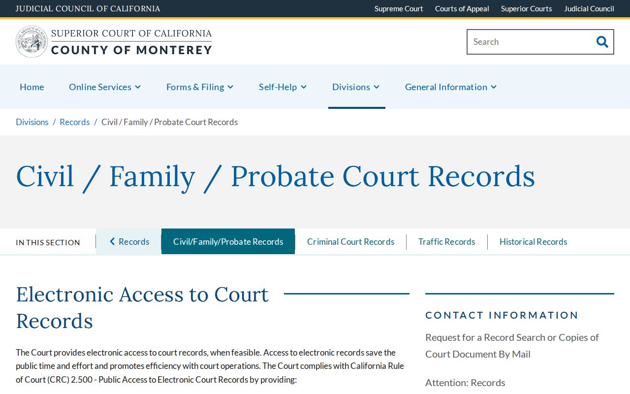
A court record can support a place-based family-history thread, but it is not a block roster. Cemetery memorials, obituaries, and church or mission registers can supplement it; user assertions need corroboration.
Monterey County Privacy: Safe at Home, DROP
California privacy programs address different record layers. The CCPA and CPRA provide covered-business rights such as access, correction, deletion, and opting out of sale or sharing, subject to exemptions. They do not erase a lawfully retained deed or court record.
California’s Delete Act, SB 362, created the official free DROP portal. The Attorney General reported in February 2026 that one request can reach more than 500 registered data brokers, with processing beginning August 1, 2026. A resident verifies California residency, creates an encrypted profile with chosen identifiers, and submits. More identifiers can improve matching. Until then, use a broker’s verified process and avoid unsolicited removal links.
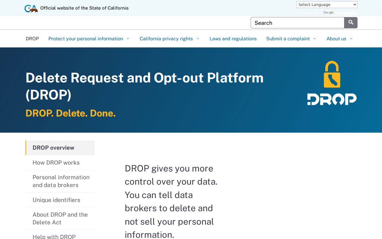
DROP addresses commercial data; Safe at Home protects qualifying participants.
Safe at Home is different. The Secretary of State publishes its governing laws under Government Code sections 6205 through 6216. Qualifying survivors of domestic violence, stalking, sexual assault, trafficking, child abduction, or elder or dependent-adult abuse, plus certain threatened workers and fearful household members, apply through an enrolling agency. Services include a substitute mailing address, mail forwarding, service-of-process support, and confidential voter registration. It is not witness protection. Contact: (877) 322-5227 or SafeAtHome@sos.ca.gov.
Protected voters, DMV data, vital records, and recorder copies have separate rules. Commercial-data deletion is not removal from every official record, and a parcel map does not authorize protected details.
Where Monterey County Neighbor Searches Stop
A Monterey County neighbor lookup can establish touching parcels, a named document party, a released assessment field, or a civic representative. It cannot fill gaps left by protected voter status, restricted DMV data, private utilities, unindexed family members, or voluntary membership choices. Public GIS omits owner and mailing fields.
When an online source is silent, use the custodian’s fallback instead of guessing. A narrow California Public Records Act request generally receives a determination within ten days, with a possible fourteen-day extension for unusual circumstances. That is not a delivery deadline. Duplication charges may apply; name the record, time span, parcel, and format.
Privacy and lawful use. Monterey County neighbor records are for personal, lawful research, local history, reconnecting, and ordinary block awareness. Do not use records to stalk, harass, intimidate, or harm anyone. California Penal Code section 646.9 addresses stalking, section 530.5 addresses identity theft, and Code of Civil Procedure section 527.6 provides a civil-harassment-order process.